

Forestry and land use planning with PostGIS and QGIS in Tanzania
In the spring of 2026 Gispo was asked to consult a Finnish-Tanzanian cooperation project called FORLAND (Forestry, Land Use and Value Chains Development in Tanzania) about how to build an easy and affordable system for maintaining and exploring GIS datasets gathered in the project.
The FORLAND project strengthens the forest sector as a driver of Tanzania’s economic growth, poverty alleviation, environmental sustainability, and climate resilience. FORLAND operates in the southern part of Tanzania, where it empowers smallholder tree growers to achieve greater production potential, supports communities in managing Village Land Forest Reserves through community-based forest management, and helps micro, small, and medium enterprises improve product quality and market access. The project uses GIS especially in the participatory planning processes for forest management and protection, land use, and fire management, as well as for monitoring of the project outcomes and forest sector development.
The challenge for the project staff is probably familiar to other GIS specialists too. How to access the datasets gathered and used in the project from outside the local network? And if the network is sometimes down, how to handle the data flows and operations needed?
That is why we suggested that a database for the project staff that is accessible from outside the local network would solve some of the problems. Thus a PostGIS database was installed in an Azure-environment maintained by FORLAND’s own IT (provided by Future Cloud Experts IT). Gispo also designed a simple database model for the project’s use based on villages and their datasets.
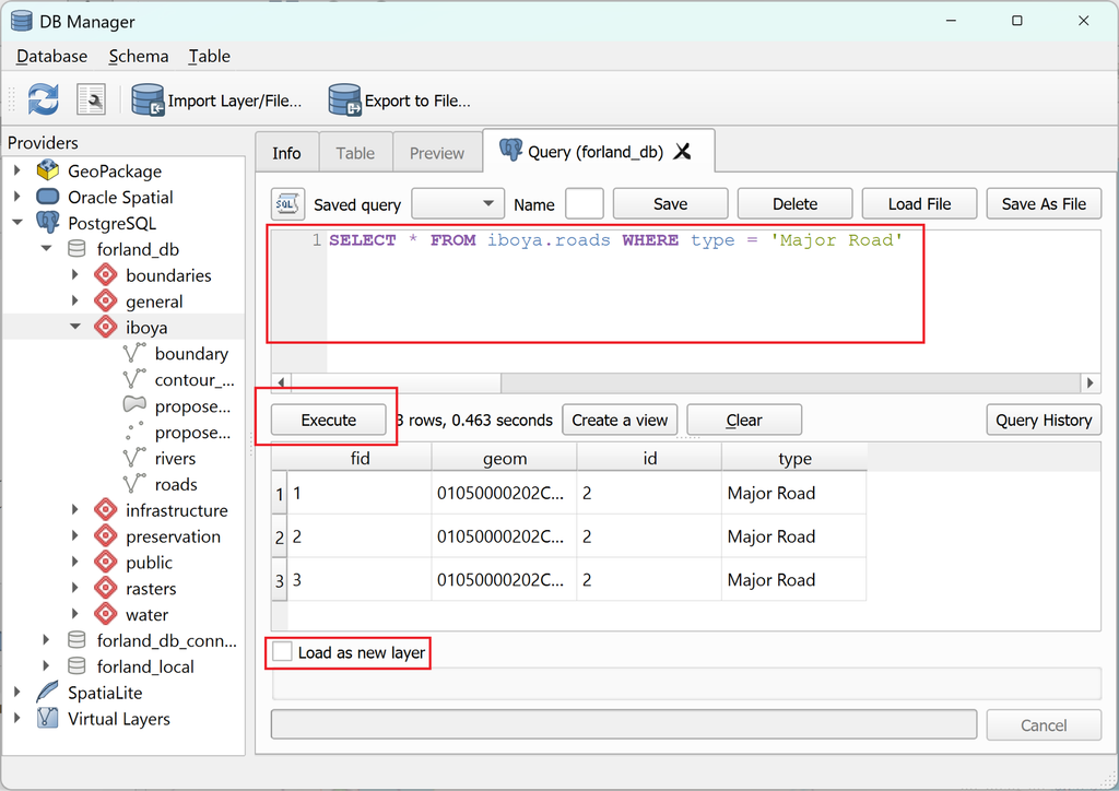
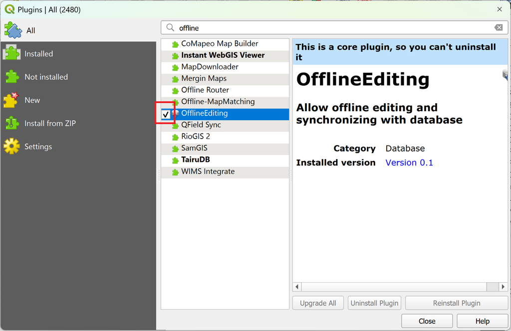
QGIS was chosen for the user interface to view and edit the datasets in the PostGIS database. QGIS has also an OfflineEditing plugin (core plugin in QGIS) which allows the users to get work done while the grid is not available. The plugin transfers the datasets into GeoPackage and then when online again, the user can synchronise the modifications back to PostGIS. Of course if there are multiple users editing at the same time, the newest always wins.
After the installations were done Gispo arranged two separate training sessions. An admin training was held to the project’s Junior Technical Advisor Kirsi who is responsible for the sharing of user rights, data migration and management. And a user training for QGIS users to access the database was conducted for the rest of the FORLANDGIS staff. The setup is now up and running and in use within the project and has helped the team to have a fluent GIS system. Hope this idea is helpful for others having the same kind of needs!
Our project works across 160 villages in 4 different regions in Tanzania, which means that our staff moves a lot! We quickly ran into problems of having multiple slightly different versions of same datasets on different devices, or data being on a hard drive that had been forgotten at the office on the other side of the country. Having a database in a cloud environment has given all of our GIS experts an access to the latest, same version of spatial data, which makes working together so much smoother. Thank you Jaakko and Sanna for the support, kindness and patience with our sometimes slow work pace, it was a pleasure working with you! – Kirsi Ylinen, FORLAND
